1860s OS Map Anomalies (tumuli & cairns)
Multi-Period Archaeological Site HIGH Priority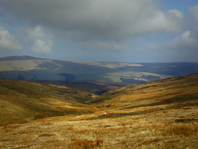
VICTORIAN DATA: The 1867-1870 OS surveyors marked approximately 2,000 ancient sites including tumuli (burial mounds), cairns, standing stones, circles, cists, and keeills. Many of these sites have been DESTROYED by subsequent farming or development. However, the map records preserve their locations — and destroyed sites often still produce finds in the ploughsoil. WHY THIS IS YOUR SECRET WEAPON: The 'As Manx As The Hills' project has plotted these 2,000 Victorian-era sites onto Google Maps (google.com/maps — search 'Manx ancient sites' or visit asmanxasthehills.com). Cross-reference these mapped sites with modern satellite imagery. Where OS surveyors marked a tumulus that's now a flat ploughed field — that's a detecting priority. The mound is gone but the finds are still in the soil. Access the original 6-inch and 25-inch OS maps at maps.nls.uk
What You Can Find Here
Depends on the period: Bronze Age from tumuli, medieval from chapels, prehistoric from cairns
Access Information
⚠️ Various — mostly farmland
Best Season to Visit
Oct-Mar
📍 54.25°N, 4.5°W · Isle of Man
📍 View on Interactive Map 🌍 Google Maps