Friary Bemaken (Old Map: 'Friry Bewmaken')
Medieval Heritage Site MED Priority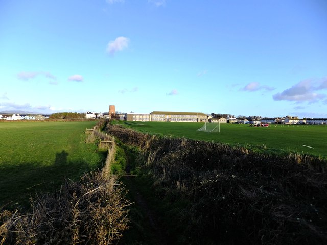
MEDIEVAL FRIARY. Durham's 1595 map shows 'Friry Bewmaken' as a 'prominent' feature near Castletown — this was a FRIARY (Franciscan or Dominican) that has since been reduced to fragments or lost entirely. Friaries were more urban than monasteries — they existed IN towns, serving the community. WHY: Friaries generated enormous foot traffic — friars begged alms, merchants donated, pilgrims visited, markets happened nearby. The approach routes and surrounding streets would have accumulated centuries of material. The Bemaken area near Castletown should be cross-referenced with the Durham map position to locate the friary site. Any surviving green space or garden in this area is worth checking.
What You Can Find Here
Medieval religious items, coins, pilgrim badges, friary tokens, pottery
Access Information
⚠️ Urban/farmland — locate site first
Best Season to Visit
Year-round
📍 54.073°N, 4.665°W · Isle of Man
📍 View on Interactive Map 🌍 Google Maps