⛰️ Snaefell Summit (2,036ft — IoM's Highest Point)
Multi-Period Archaeological Site HIGH Priority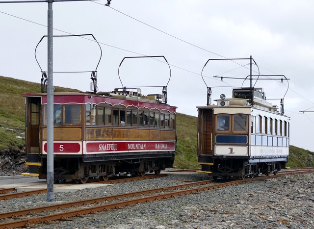
IoM's HIGHEST POINT at 2,036 feet. Durham's 1595 map (the oldest map of IoM) marks 'Whetston' near Snaefell — possibly the prominent white stone called 'Sharagh Vane.' The summit has been a landmark for 8,000 years — visible from every part of the island AND from England, Scotland, Ireland, and Wales on clear days. WHY HILLTOPS MATTER FOR DETECTING: (1) Ancient people used hilltops for SIGNALLING — beacon fires lit here would be visible across the entire Irish Sea, (2) The Manx Electric Railway reaches the summit since 1895 — 130 years of tourism = lost coins, (3) Pre-modern travellers navigated BY the summit — paths radiate out in all directions, (4) Mineral veins run through Snaefell (the Great Laxey Mine is on its flanks) — prospectors have explored since medieval times. The plateau just below the summit cafe and the MER terminus is the target — thousands of visitors over centuries.
What You Can Find Here
Victorian/modern coins from tourists, medieval prospecting items, possible prehistoric ritual items
Access Information
✅ Public — Snaefell Mountain Railway or walk
Best Season to Visit
Summer (accessible)
📍 54.262°N, 4.461°W · Isle of Man
📍 View on Interactive Map 🌍 Google Maps