The Lhen (Old Map: 'extensive sheet of water')
Multi-Period Archaeological Site HIGH Priority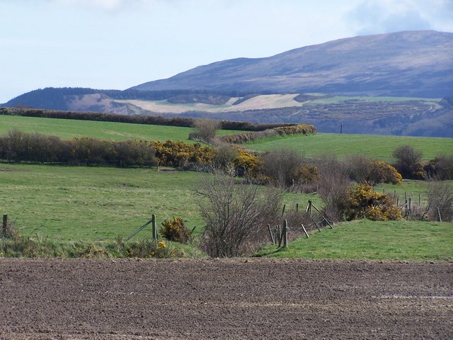
LOST LANDSCAPE FEATURE. Durham's 1595 map (the oldest detailed map of IoM) shows The Lhen as an 'extensive sheet of water with a good entrance from the sea.' This was a TIDAL LAGOON or inlet — a natural harbour that has since silted up completely. Today it's flat farmland. WHY THIS IS EXTRAORDINARY: (1) Natural harbours attracted boats, trade, and settlement from the earliest times, (2) A lagoon with sea access was a PERFECT smuggling/landing point — boats could hide inside, (3) Viking longships could shelter here — flat-bottomed vessels ideal for tidal lagoons, (4) As the lagoon silted up over centuries, items deposited in water were SEALED IN SILT — exceptional preservation, (5) The Lhen is in the Andreas/Bride area = Viking heartland. The farmland where the lagoon once was is PRIME detecting territory. Items preserved in former waterlogged conditions can be spectacular.
What You Can Find Here
Viking maritime items, medieval harbour goods, smuggling-era items, exceptionally preserved waterlogged finds
Access Information
⚠️ Farmland — permission needed
Best Season to Visit
Oct-Mar (dry conditions)
📍 54.351°N, 4.45°W · Isle of Man
📍 View on Interactive Map 🌍 Google Maps