Victorian Market Sites (Douglas, Peel, Ramsey, Castletown)
Multi-Period Archaeological Site MED Priority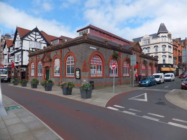
VICTORIAN DATA: The 1860s OS maps (the first detailed survey of IoM) show market squares, fair grounds, and public gathering places in every major town. These sites hosted weekly markets for centuries. Victorian-era maps available at National Library of Scotland (maps.nls.uk — 6-inch and 25-inch OS maps of IoM from c.1867-1870). WHY: Markets = money changing hands = money dropped. Every week for centuries. The old market squares of Douglas, Peel, Ramsey, and Castletown have deep archaeological potential under the modern surfaces. Where development has left gaps (car parks, gardens, waste ground), detecting can reach the older layers.
What You Can Find Here
Coins, tokens, weights, buckles, buttons from every century of market use
Access Information
⚠️ Urban — limited detecting, focus on waste ground
Best Season to Visit
Year-round
📍 54.15°N, 4.48°W · Isle of Man
📍 View on Interactive Map 🌍 Google Maps